Transforming nature conservation with the power of satellite imagery

Satellite imagery is changing conservation as we know it. By being able to take an inventory of the Earth’s surface and observe changes, we can begin to understand ecosystem dynamics in an unprecedented level of detail.
Satellite imagery is already supplementing traditional conservation research methods, and in some cases is even replacing them. High-quality satellite images can be used to rapidly detect deforestation, observe mining operations, locate wildlife colonies, and even track illegal activities that are harming our planet.
The benefits and challenges of using satellites
Monitoring ecosystems from space using the latest Earth observation satellites allows scientists and conservationists to vastly improve the information they collect: leading to higher-quality insights, or information about areas which would otherwise be impossible to survey.
For example, satellites can observe cross-border areas easily, without requiring permission from multiple civil aviation jurisdictions. They can capture large areas of the planet in one go, which can help to avoid miscounts and human errors, where the same area might accidentally be covered on multiple passes. They are of course also completely unobtrusive, meaning that there is no risk of disturbing or damaging species or habitats during the course of the surveying activities. And they can reach parts of our planet that would otherwise be inaccessible. For example, a new colony of 1.5 million Adélie penguins that had remained hidden for nearly 3,000 years was finally detected thanks to satellite imagery in 2018.
Using satellites therefore seems like a no-brainer: why wouldn’t scientists automatically choose to use them compared to other methods?
Unfortunately, it isn’t quite that simple. A laptop in the field would likely struggle to process satellite imagery due to the enormous size of the images, or would at the very least require specialist software. There are also external factors that can create a large variability in the quality of satellite imagery. Having passed the technological and financial hurdle to acquire the satellite imagery in the first place, failing to gather valuable data due to an inconveniently-placed cloud or poor lighting is extremely frustrating for the researchers.

Pléiades Neo @ AIRBUS DS 2022
Partnerships are key to overcoming these hurdles
Connected Conservation Foundation (CCF) brings together local people, partners and technology companies to protect wildlife and ecosystems using technology. CCF and their conservation field partners are able to use satellite imagery donated by the Airbus Foundation to explore the value of satellite imagery for a number of nature conservation projects.
- Detecting poaching incidents from space: Using Airbus’s pioneering 30cm high-resolution satellite imagery, CCF helped the team at the Madikwe Game Reserve in South Africa identify a tragic poaching incident. Two rhino carcasses were detected in satellite imagery, which allowed the park rangers to ascertain the time of death and assisted them with the subsequent investigation.
- Locating endangered species in hard-to-reach areas: CCF brought together imagery from Airbuss Pléiades Neo satellites with an AI-powered solution by technology services company NTT Ltd. to locate endangered species in hard-to-reach areas. By using satellite imagery to guide conservationists, teams can identify wildlife hotspots and map the movements of different species, even across borders. This helps to create ‘heat maps’ of species’ territories and migration which in turn enables conservationists to be able to better protect them.
- Capturing vital ecosystem information: By mapping water resources, human settlements, grasslands and invasive plant species from Space, more informed sustainable management plans can be developed to respond to climate change and fluctuating levels of natural resources. This will better support local communities and conservation activities.
, Distribution Airbus DS - Smoke caused by fires burning in Ghana)")
(Pléiades © CNES (2022), Distribution Airbus DS - Smoke caused by fires burning in Ghana)
The Airbus Foundation’s next project with CCF will be taking satellite images of the extensive Lorian ecosystem for the Northern Rangelands Trust (NRT) in Kenya.
Together, CCF and the Airbus Foundation have secured 1,900 km2 of high-resolution satellite imagery for NRT researchers to use as they plan conservation activities. It will provide a baseline to measure ecosystem recovery over the next ten years as well as help define new protected areas, where researchers will survey and map water distribution, human settlements and flora and fauna, including invasive species.

lorain ecosystem
Additionally, government agencies including Museum Kenya, Kenya University and the Kenya Wildlife Service will also work with NRT to use this imagery to plan ways to mitigate human-wildlife incidents between elephants, lions and local people. This will help establish wildlife corridors and allow communities to better coexist and thrive together.
In the face of global threats such as deforestation, biodiversity loss, wildfires, and other challenges, organisations like CCF need access to timely, accurate data. The Airbus Foundation is pleased to share satellite imagery that organisations can use to protect wildlife and their habitats, supporting their efforts to protect ecosystems, combat wildlife poaching, and reduce human-wildlife conflict.
Related news
Continue Reading

The last stand of the Ethiopian wolf
Web Story
Airbus Foundation
Find out how Airbus satellites and local partnerships are driving conservation
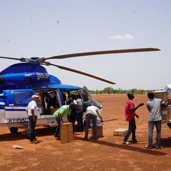
How aviation partnerships are strengthening humanitarian logistics
Web Story
Airbus Foundation
2024: The Airbus Foundation’s year in review
Web Story
Airbus Foundation
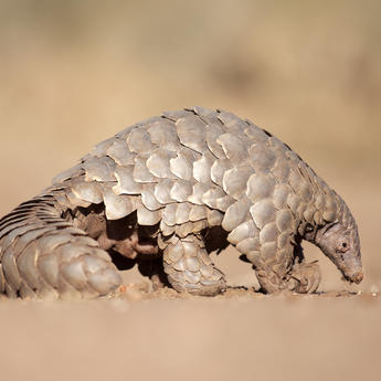
Saving the giant pangolins of Nyakweri Forest
Web Story
Airbus Foundation

Airbus Foundation and Solar Impulse Foundation launch call for projects
Web Story
Sustainability


