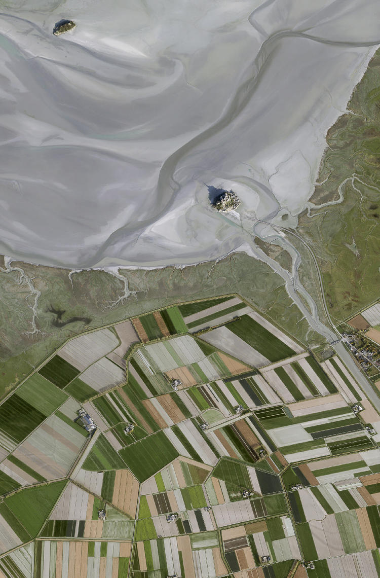
The agricultural market is increasingly challenging due to the ongoing needs for more sustainable farming practices and higher production volumes. The complex requirement to optimise yields while improving harvest quality and reducing fertiliser use to protect the environment is creating great demand for satellite imagery of agriculture and precision farming services.
Red-edge band
One solution to this challenge is the use of Pléiades Neo’s Red Edge band for precision farming and other agricultural use cases. The Red Edge band makes it possible to accurately predict and pinpoint subtle stress situations in crops long before the problem can be detected with conventional vegetation indices or even the human eye. This information will allow farmers to assess the root cause of the problem and take remedial action before the ailment spreads or crops are lost.
However, analysing the condition of vegetation on a large scale often requires a greater level of detail than most satellites provide. For example, what if you need to analyse the condition of individual trees scattered throughout congested urban areas?
More insights through higher resolution
With a native resolution of 30cm combined with the availability of the Red Edge band, Pléiades Neo dramatically shifts the way users can process satellite imagery and gain meaningful insights. The combination of a very high-resolution sensor and the new Red Edge band offered by Pléiades Neo opens up a host of new possibilities beyond the current status quo. For example, experts can analyse plant health and seasonal changes in crop health at the individual plant level, allowing them to leverage Pléiades Neo to offer better geospatial solutions to their end customers.
