Rising sea levels, deforestation, greenhouse gas emissions
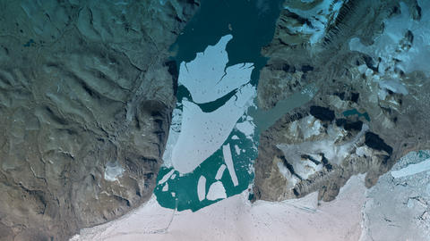
Airbus satellites and geospatial data help climatologists and governments to monitor and fight climate change.
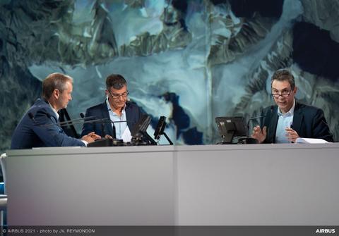
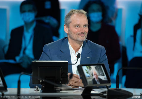
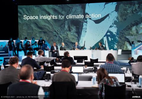
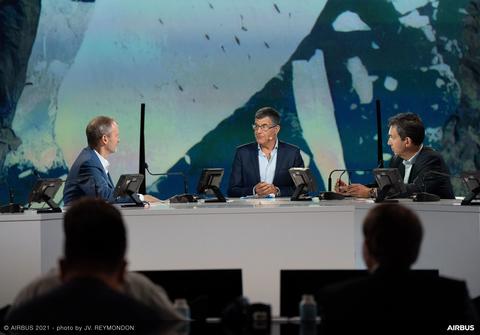
Find out more during the “Space insights for climate action” moment with special guest Josef Aschbacher, ESA Director General.
Space insights for climate action
The last five years have been the warmest on record. That doesn't sound dramatic at first – unless you live on the Westcoast of North America and had to endure 49.6° Celsius this summer. A clear sign that Earth's climate is changing. Melting glaciers and polar ice caps are causing sea levels to rise by three millimetres a year. Again, that may not sound like much, but the rise will add up: Antarctica alone stores enough frozen water to raise sea levels by 58 metres, many coastal cities and islands would then be under water.
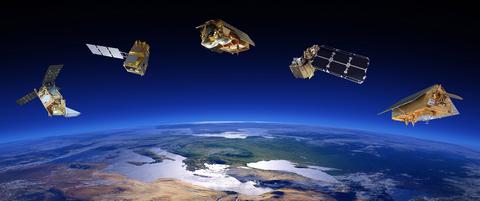
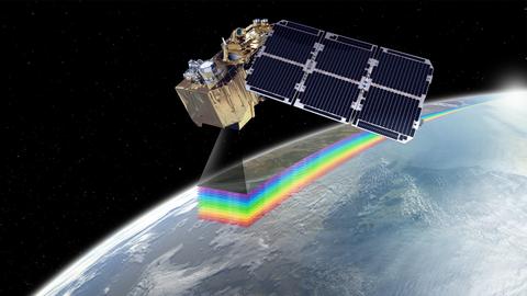
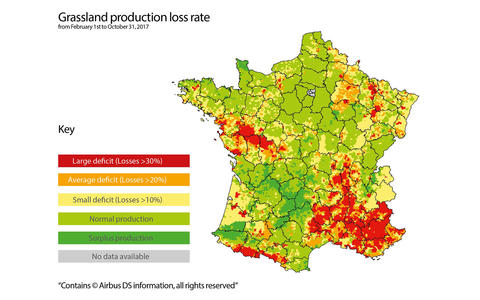
To study climate phenomena like these and make smart decisions about climate change, reliable data is needed. Airbus plays a vital role: the company not only builds many of the Earth observation satellites measuring key climate variables, it also transforms their data into actionable insights to better understand and fight climate change.
Find out more about our speakers
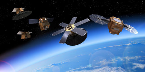
Understanding and predicting the weather is a key factor in understanding our environment. Delivering long term accurate weather forecasting takes a unique satellite programme. Identical datasets must be available over long timescales which leads to mission requirements of identical satellites launched in sequence.
Documents
Learn more
Media contacts
Ralph Heinrich
Head of External Communications - Airbus Space Systems
Guilhem Boltz
External Communications - Airbus Space Systems, France
Latest News


