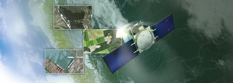
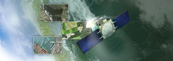
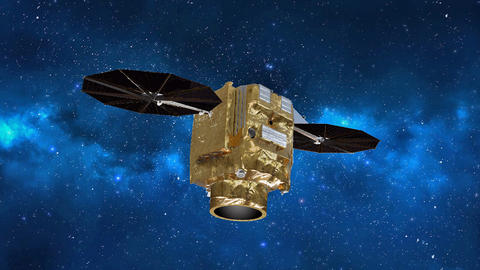
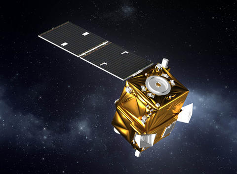
PerúSAT-1 is a very-high-resolution Earth observation satellite system built for the government and Space Agency of Peru. Launched in 2016, this satellite is the first of its kind operated by Peru.
PerúSAT-1: A Primary Data Source for Peru
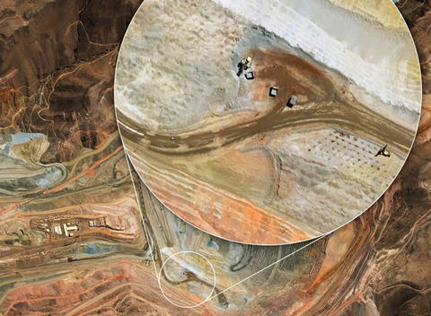
The PerúSAT-1 programme provides a very-high-quality imagery for both civil and military applications. With application areas ranging from homeland security and border monitoring, coastal surveillance and the fight against illegal trafficking to mining, geology, hydrology, disaster management and environmental protection, PerúSAT-1 gives an unprecedented boost to the development of downstream services in Peru.
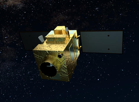
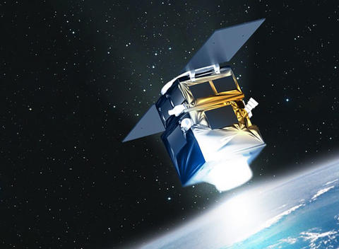

In 2014, the Peruvian Space Agency CONIDA selected Airbus as the sole prime contractor for the PerúSAT-1 Earth observation satellite programme following a government-to-government agreement between Peruvian and French authorities. As the contract included an in-orbit delivery of its first satellite, Airbus contracted Arianespace to launch PerúSAT-1 on a Vega launcher from Kourou in French Guiana, which placed the satellite in its sun-synchronous polar orbit approximately 700 km above the Earth.
PerúSAT-1 is based on Airbus Defence and Space's AstroBus-S platform: the latest generation of high-end satellites designed for a 10-year lifetime.
It observes the Earth through the very-high-resolution optical NAOMI imager, designed and developed by Airbus Defence and Space. This silicon carbide optical instrument provides imagery in high or very-high resolution; in PerúSAT-1’s case 70 centimeters.
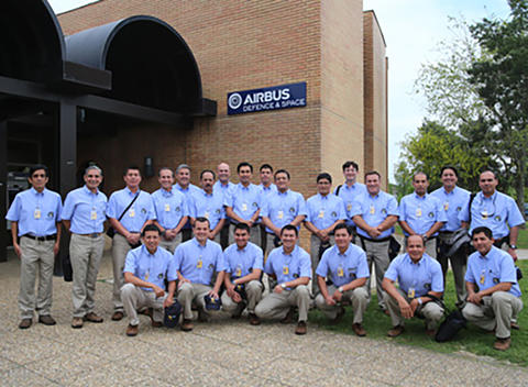
Further, the Peruvian Earth observation satellite system also comprises a ground control segment, an image reception and processing centre as well as a privileged access to Airbus's own Earth observation satellite constellation since day one of the contract.
PerúSAT-1: a satellite produced in record-time
This success was made possible by the creation of the “Projects Factory©,” a new and more integrated working organisation in the Space System business unit in Airbus Defence and Space. This new way of working brings down development and construction lead times for satellites up to 500 kg and optimises their costs and schedule delivery, without impacting quality in any way.
You may be interested in ....
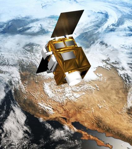
Related product: AstroBus
Offering the most comprehensive range of Earth observation satellite systems on the market today, Airbus Defence and Space provides the right satellite for every customer. Deliverable in absolute record time, our leading-edge satellites are designed as off-the-shelf products that can be individually customised to comply with specific customer requirements.
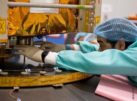
Related services: Capacity building
With their satellite system from Airbus Defence and Space, customers tap into an extensive repository of capacity building options, ranging from full in-orbit delivery to satellite data storage solutions. For more than a decade, customers around the world have appreciated close and long-lasting partnerships with Airbus Defence and Space. The company offers comprehensive solutions going far beyond “just” satellites.
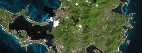
Related instruments: NAOMI
New AstroSat Optical Modular Instrument is an instrument line of high-resolution imagers designed and developed by Airbus Defence and Space. These instruments provide high-quality images from low-Earth orbit for land observation. The ideal instruments for various applications as land use monitoring, security, agriculture, disaster relief monitoring and natural disasters.
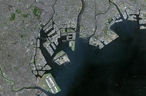
Related expertise: Data and imagery services
As the operator of a unique constellation of radar and optical satellites, Airbus Defence and Space supplies a comprehensive portfolio of satellite data and related services such as data management, processing and interpretation. This cutting-edge expertise, stemming from over 30 years of experience, is a major asset that also our satellite customers benefit from: our extensive, tailor-made trainings and tools help the progress towards a flawless exploitation of their own satellite system.
