Observing the Earth’s winds from space
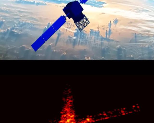
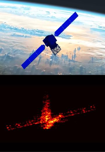
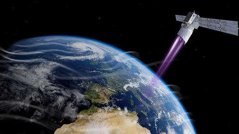
Operated by the European Space Agency (ESA), Aeolus was the first satellite capable of acquiring the profile of the Earth’s winds on a global scale, on a daily basis in near real-time.
Developed by Airbus, for the first time, a ground-breaking LIDAR (Light Detection And Ranging) instrument enabled climate scientists to better understand the influence of wind, in order to improve weather forecasts.
Lidar, a world-first in space
The Aeolus demonstrator set out to prove that LIDAR (Light Detection And Ranging) technology can accurately track the Earth’s winds to understand how they are interconnected with air pressure, temperature and humidity levels.
Aeolus was equipped with an innovative, Airbus-designed LIDAR called Aladin, which used the Doppler effect to determine wind speeds. Airbus is the only company to have developed such an instrument for use in space.
The mission ended in July 2023, when the satellite reentered the Earth’s atmosphere.
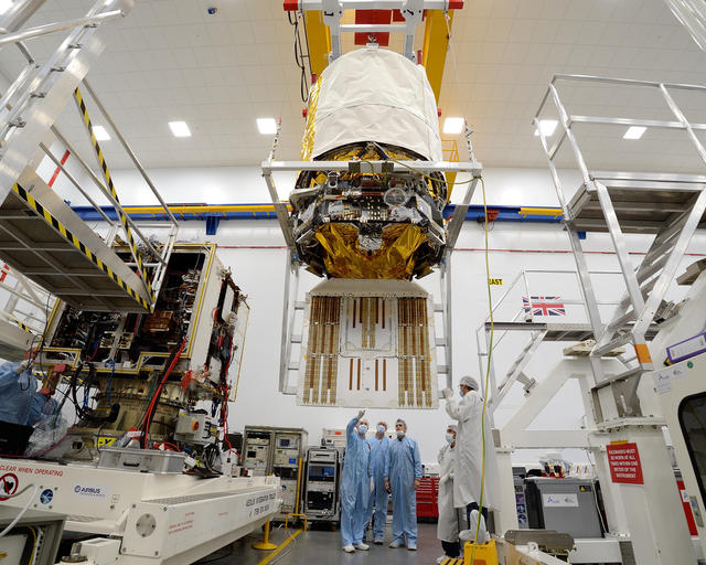

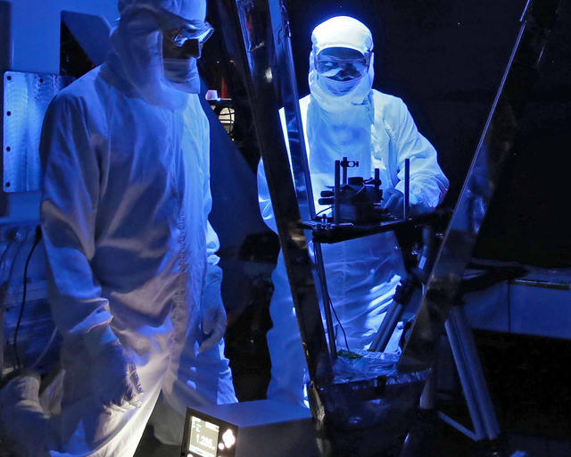
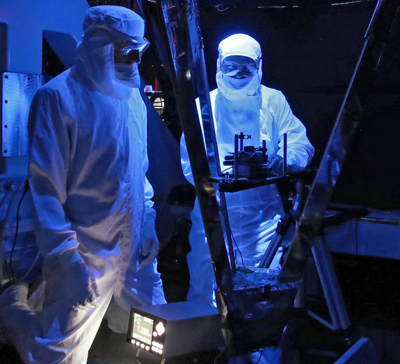
Aeolus during integration in the clean room in Stevenage, UK
Aeolus during integration in the clean room in Stevenage, UK.
Exceeding expectations
Aeolus provided high quality data that went above and beyond its original mission. Supplying missing wind measurements that were provided by airliners previous to the COVID pandemic, indeed Aeolus was deemed so valuable, that its data was adopted for daily weather forecasting.
The volume of data also clearly set Aeolus apart, since the satellite delivered more information than all existing ground-based measuring systems.
Aeolus assisted reentry
Aeolus-2: the future of daily LIDAR meteorology
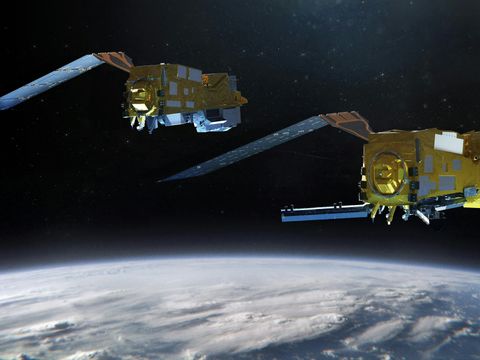
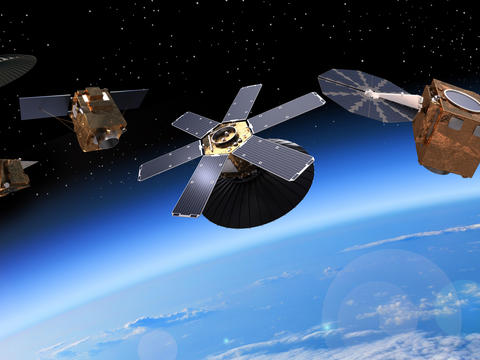
Built as a one-off research mission, Aeolus’ success paves the way for a possible future fleet of Doppler wind LIDAR satellites in space.
A proposed follow-up mission, Aeolus-2, will feature improved performance as the technology becomes more robust, with reduced errors in wind speed measurements, and greater resolution.
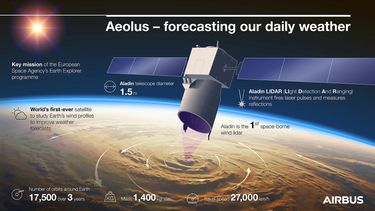
Aeolus in a nutshell
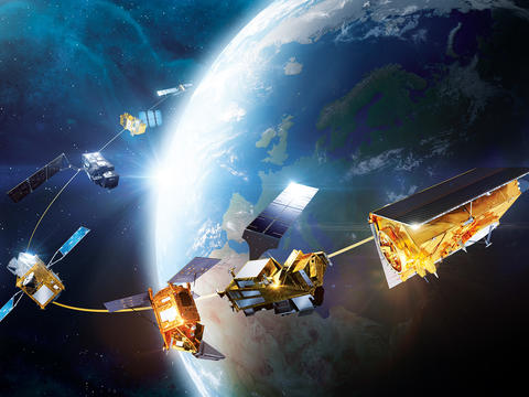
The latest Earth Observation news
in the spotlight
-

Airbus and Hisdesat sign a commercialisation agreement for PAZ-2 satellite imagery
Press Release
Space
Airbus Defence and Space and Hisdesat sign a commercialisation agreement for PAZ-2 radar satellite imagery and applications -

Airbus fosters Barry Callebaut`s efforts to develop a deforestation-free supply chain
Press Release
Sustainability
-
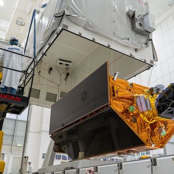
Successful launch of Airbus-built Sentinel-6B climate satellite
Press Release
Space
-
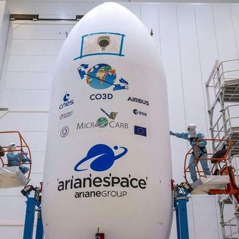
Airbus-built CO3D constellation successfully launched to map our planet in 3D
Press Release
Space
-
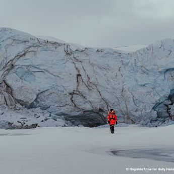
Glaciers in danger: satellites underscore extent of climate emergency
Web Story
Space

