Satellite imagery
Earth observation imagery

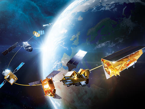
The most extensive and accurate constellation
Airbus operates a powerful and versatile satellite constellation, integrating optical and radar capabilities for comprehensive Earth Observation.
Our multi-sensor, multi-resolution and multi-source approach to data enables us to meet the diverse data needs of our customers,whether they require wide coverage, fine detail, intensive monitoring, high reactivity, timely acquisition regardless of lighting conditions or extensive archive data.
Derived from our first-class imagery, we also process a comprehensive portfolio of geospatial datasets including high-quality elevation models, global layers and grids.
From the big picture to the smallest detail
Our SPOT satellite excels in wide-area coverage in record time, making it a perfect choice for cartography and monitoring applications.
Pléiades satellites deliver high-resolution optical imagery, providing detailed and precise data Ideal for precision mapping and in-depth Intelligence.
Vision-1 with its unique high-resolution sensor, offers enhanced responsiveness for time-sensitive applications such as rapid mapping and environmental monitoring.
The Pleiades Neo constellation takes imagery at very-high precision and revisits to the next level, while our Radar constellation ensures reliable, all-weather, day-and-night observation.
To further enhance flexibility, OneTasking offers a service that provides guaranteed, priority access to our satellites, ensuring users receive the imagery they need, when they need it, even for urgent requests. Additionally, we provide access to one of the world’s largest satellite imagery archives, supporting a wide range of applications from environmental monitoring to long-term change analysis.

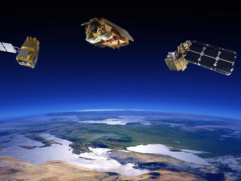
Airbus Space Constellation
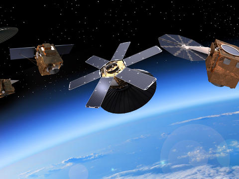
We commit to continuity
At the forefront of advanced geospatial solutions, we are proud to prepare the next generation of assets with CO3D, Strat-Observer and Pleiades Neo Next.
CO3D will provide highly accurate and detailed 3D models of the Earth's surface, offering unrivalled accuracy in a variety of applications. Strat-Observer will provide persistent surveillance for continuous observation and improved situational awareness. Pléiades Neo Next, based on our renowned very-high resolution satellite imagery, will offer even greater detail and revisit to meet the most demanding intelligence requirements. These assets not only provide industries with unrivalled data to make crucial decisions in a rapidly changing world, but also guarantee the continuity of our constellation for many years to come.
Take advantage of imagery and solutions
-
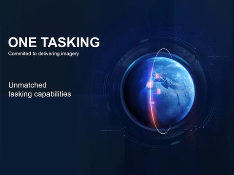
Tasking
Commissioning a satellite with a commitment to deliver useful and timely results is now risk-free, fast and easy.
-

Pléiades Neo - Satellite Imagery
Our most advanced optical Constellation provide 30cm very high-resolution imagery with ultimate reactivity.
-
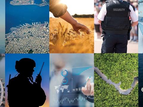
Multi-application imagery solutions
Working in close partnership with our customers to respond to their challenges and missions with greater speed and precision.


The latest Earth observation news
In the spotlight
-

A sovereign space intelligence team: Airbus, Rohde & Schwarz, constellr, Orbint, HPS
Press Release
Space
Airbus will collaborate with Rohde & Schwarz, constellr, Orbint and HPS on a satellite-based Earth observation and ISR solution -

Airbus and Hisdesat sign a commercialisation agreement for PAZ-2 satellite imagery
Press Release
Space
-

Airbus fosters Barry Callebaut`s efforts to develop a deforestation-free supply chain
Press Release
Sustainability
-

Successful launch of Airbus-built Sentinel-6B climate satellite
Press Release
Space
-

Airbus-built CO3D constellation successfully launched to map our planet in 3D
Press Release
Space


Frequently asked questions
about satellite imagery
What is satellite imagery?
Satellite imagery consists of images and data captured by satellites orbiting the Earth. The satellites use sophisticated sensors to collect information across the electromagnetic spectrum, including visible light, infrared, and radio frequencies.These observations have many usages for meteorological forecasting and disaster response, precision agriculture to cartographic purposes and military needs.
What types of satellite imagery does Airbus offer?
Airbus operates a comprehensive satellite Earth observation fleet, accessible via the OneAtlas platform. Airbus’ constellation provides a versatile range of of optical and radar (SAR) data: -
- Pléiades Neo (2 identical satellites providing very-high imagery with 30cm resolution) for extreme detail,
- Pléiades (50cm) and Vision-1 (90cm) constellations for precise monitoring,
- SPOT (1.5m) for vast geographic coverage.
- TerraSAR-X, TanDEM-X and PAZ radar constellation (25cm resolution) , delivers weather and daylight independent site access to any point on Earth, for reliability in any conditions.
What is OneAtlas and how do I get started?
OneAtlas is the Airbus cloud-based platform that provides a single point of entry to world-leading satellite data. It allows users to: access a massive global data archive, task a satellite for a new acquisition , and stream high-quality imagery directly into your preferred mapping software.
What level of detail can a user expect, and are there privacy concerns?
With Airbus highest-resolution imagery, user can clearly distinguish features as small as road markings, individual vehicles, and industrial equipment. This level of detail is ideal for identifying environmental changes, monitoring construction progress, or inspecting infrastructure without requiring ground-level access.
Regarding privacy, while Airbus-built satellites offer incredible clarity for mapping and analysis, they are not designed to identify individuals or read vehicle number plates.
Can satellites "see" through clouds or at night?
Yes, depending on the onboard sensor.
- Optical satellites (like a high-end digital camera) provide lifelike images but require daylight and clear skies.
- Radar satellites (SAR) work in all-weather conditions. They emit their own signals that bounce off the Earth and return to the satellites, allowing them to penetrate cloud cover, smoke, and total darkness. This is essential for emergency response during storms or tracking ships at night.
How fresh is the imagery I can get?
We offer two main ways to get images:
- The Living library: A massive archive of acquired images that you can access instantly, they are perfect for seeing how a location has changed over several years.
- Tasking a satellite: If you need a brand-new image of a specific event (e.g. a major construction milestones or a post-disaster zone), you can programme one of our satellites to capture that exact spot at the next available opportunity, often within 24 hours.
How is satellite imagery used to protect the planet?
Sustainability is a core application of Airbus data. Our imagery is used by NGOs and governments to:
- Fight deforestation: Detecting illegal logging n in real-time.
- Precision agriculture: Helping farmers to optimise water and fertilizer use, by identifying exactly which parts of a field are thirsty or stressed.
- Climate science: Tracking the impact of climate change on Earth such as the melting of glaciers and rising sea levels with millimeter precision.
Do I need special software to use Airbus imagery?
Not necessarily. While professional map-makers (GIS experts) use specialised tools, OneAtlas platform is designed to be as easy to use as a standard web map. You can browse, zoom, and analyse data directly in your browser. For businesses, we also provide simple "plug-and-play" connections that bring our imagery directly into the apps they already use every day.
Who uses this data besides the government?
While we serve many institutional and defence clients, our data is increasingly used by:
- Civil engineers to plan new railways and bridges
- Insurance companies to assess property damage after a hurricane
- Retailers to track parking lot activity and consumer trends
- Environmental agencies to monitor protected wildlife habitats
How does Artificial Intelligence (AI) enhance Earth observation?
At Airbus, we integrate Machine Learning (ML) and AI to process satellite data at scale. Instead of manually checking thousands of images, our AI algorithms can automatically detect, count, and classify objects such as aircraft, ships, or buildings, and identify subtle patterns of change that the human eye might miss.
Discover more about earth observation at Airbus
-
Earth observation
Airbus provides Earth observation satellite systems and services to help our customers better understand climate change and…
-
Earth observation systems
Discover our Earth Observation optical and radar portfolio with its comprehensive range of satellite systems to monitor the…
-
Climate missions
Airbus-built Earth observation satellites monitor climate change and provide valuable information to help mitigate it.


