More animal and plant species are currently facing extinction than at any time in human history. Around one million species are thought to be currently under threat.
To meet this challenge, in 2021, the Airbus Foundation joined forces with the Connected Conservation Foundation (CCF) to protect wildlife and preserve ecosystems with the help of Airbus Defence and Space satellite imagery.
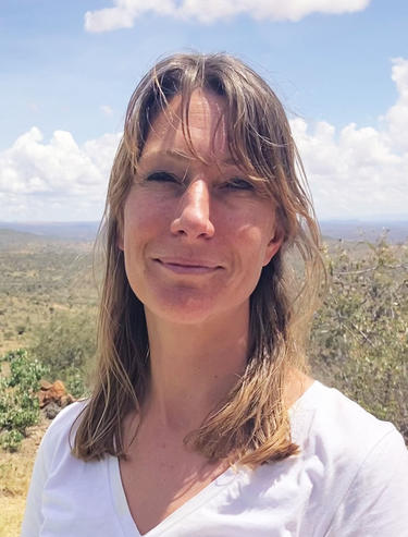
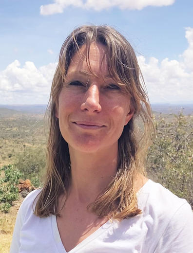
Executive Director of the Connected Conservation Foundation, Sophie Maxwell, gives an update on CCF’s partnership with the Airbus Foundation.
Sophie, tell us how the partnership is going.
In the past two years, our partnership has made significant strides in protecting wildlife and natural ecosystems. Satellite data, alongside on-the-ground infrastructure, has emerged as a vital tool for monitoring and safeguarding protected areas. We’ve been focused on delivering high-resolution data to local teams, empowering them to monitor and protect threatened species and natural resources.
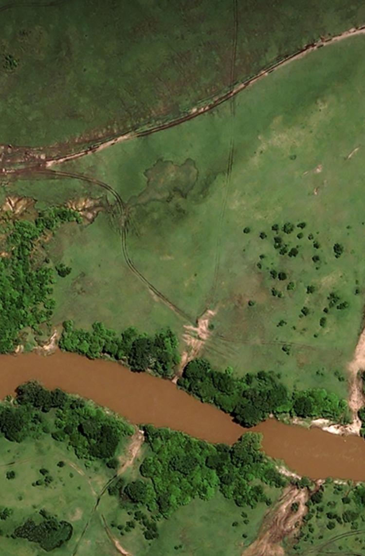
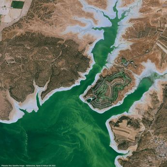
Our partnership has also pursued innovative projects that use new 30 cm resolution data from Pléiades Neo satellites to solve a variety of conservation challenges. These include the monitoring of wildlife, natural resources and vegetation and harmful human activities. Use of this data shows how conservation efforts can be scaled up through cutting-edge technology and advanced analysis techniques.
How has CCF benefitted from Airbus Foundation satellite imagery?
In the last two years, Airbus Foundation has donated 4,209 km2 of high-resolution imagery. This includes 2,000 km2 of Pléiades Neo imagery of the Lorian Swamp Ecosystem to the Northern Rangelands Trust (NRT) in Kenya, which the NRT can use for habitat mapping, wildlife corridor planning and natural resource management. This data also serves as a baseline for long-term conservation efforts and plays a crucial role in raising awareness locally of the threats, pressures and challenges at hand.
High-resolution data also serves as evidence to build a case for the designation of a new protected area. Currently only 15% of our planet is classed as protected, but the UN has a goal to increase this to 30% by 2030. Pléiades Neo imagery is helping NRT make the case for the Lorian Swamp Ecosystem achieving this designation.
How can technology help local teams to protect natural habitats?
Satellite data and real-time information can dramatically improve wildlife and ecosystem protection and management. Small conservation teams often monitor vast areas and need to be able to respond rapidly. As remote areas become increasingly connected and the availability of critical data improves, front-line teams can benefit from communications, connectivity and early warning tools. These tools help prevent poaching, monitor wildlife health, mitigate human-wildlife conflict, and manage natural resources.
How is technology being used to combat poaching?
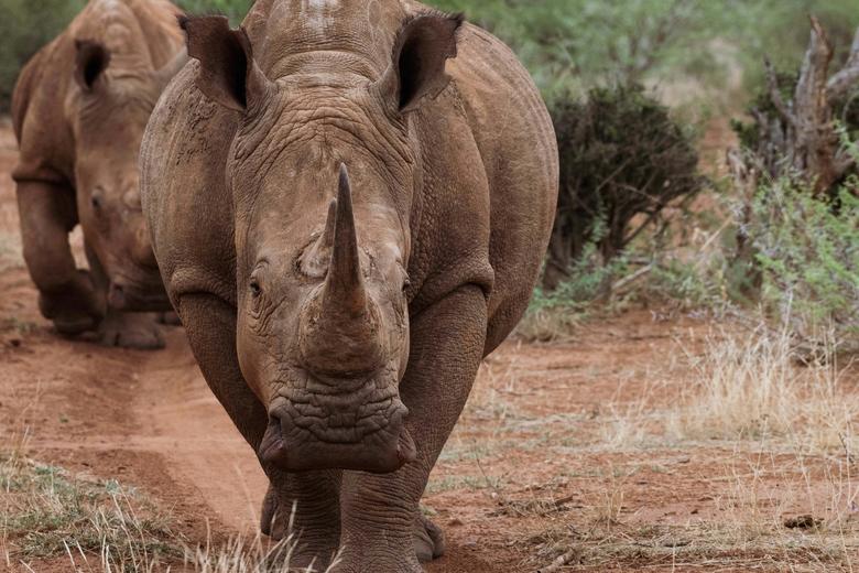
In 2021, South Africa experienced a devastating increase in rhino poaching incidents, with 451 rhinos tragically killed. Unfortunately, we can also see this disturbing trend in neighbouring Namibia and Botswana. Only 6,195 black rhinos remain in the wild, so we need to take urgent action to save this iconic species from extinction.
Over the years, CCF has deployed a range of technologies such as long-range thermal cameras, camera traps, fence alarms, drones, and tracking devices to combat poaching. These can scan the environment 24/7 and raise alerts to security teams on incursions, threats and suspicious activities.
Thanks to the support of the Airbus Foundation, CCF has been able to trial the use of 30 cm Pléiades Neo satellite imagery in the Madikwe Game Reserve, South Africa. It enabled three deceased rhinos to be detected from space, helping on-the ground anti-poaching teams to locate the carcasses and assisting in the criminal investigation.
What other new technologies are you using to scale up CCF’s anti-poaching activities?
In recent years, drones equipped with thermal heat detection cameras have emerged as a key anti-poaching tool, intercepting numerous incidents and enabling the capture of suspects. However, drone technology has its limitations, notably due to short battery life and restricted flight times.
With the Airbus Foundation, we looked at the Airbus Aliaca Unmanned Aerial System Survey Copter to see if it could do a better job. The Aliaca can be launched in just 15 minutes and fly for up to three hours. We believe that this technology has the potential to transform park security by enabling routine nighttime patrols and facilitating a quick response to incursion alarms but it isn’t available for our use today. Deploying the latest technology to more effectively fight poaching remains a focus for our partnership.
What’s on the cards for the Foundation and CCF partnership in the coming years?
We want to expand the use of digital infrastructure and satellite imagery to more protected areas. New partnerships have been established to help the YUS Conservation Area in Papua New Guinea; the Kunene, Erongo and Otjozondjupa regions in Namibia; and Sai Yok in Thailand. Funding and high-resolution data will help local conservation teams with land-use management, deforestation prevention, community engagement, wildlife corridor planning and coexistence efforts.
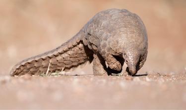
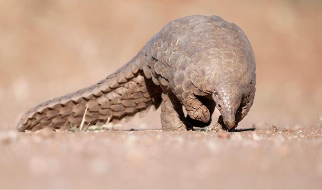
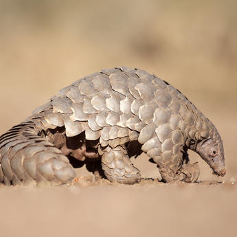
Our collaboration also supports dedicated research teams and their important work protecting endangered species, including the giant pangolin. The project will provide four partners with access to 30 cm of high-resolution data and help them develop Geographic Information System (GIS) skills. By empowering these organisations with valuable data, and sharing insights and learnings, we aim to foster more effective conservation practices.
Can you tell us more about the Satellites for Biodiversity Award which was launched last year?
The Award aims to highlight where high-resolution satellite data can improve species and nature conservation, support communities and underpin effective protected area management.
We were overwhelmed by the number and quality of applications. Seven transformative conservation projects are now receiving access to data from Airbus’ latest generation high-resolution satellites. In addition, three finalists are also receiving funding for satellite data to help protect native plants, animals and their habitats, and improve human and wildlife coexistence.
With winners across Papua New Guinea, Thailand, Kenya and Namibia, this award is aiding local teams use satellite data to reverse the decline of endangered species across the globe.
What's next?
The Satellites for Biodiversity Award programme is set to run on an annual basis, and we look forward to receiving a new wave of applications when the competition reopens in October 2023. We’re also planning to launch a new project that brings together humanitarian and conservation organisations to help communities living in and alongside important conservation areas.
We are very thankful to Airbus Foundation for their support. The alignment of their team’s energy, ideas and drive with CCF’s own ambitions has been truly inspiring, and we look forward to our continued partnership over the next three years … and beyond!
