It’s a fact, our industry has achieved huge improvements in safety since the 1950s, and technology has made a significant contribution in ensuring that the safety records of the whole aviation industry have very significantly improved.
In this series, we revisit some of the innovations that have provided a significant step change in improving the safety of our products. In this article, we will highlight the Terrain Awareness and Warning System.
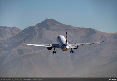
In the early years of commercial aviation one of the three main categories of serious commercial aviation accidents involved aircraft unintentionally flown into terrain. These were properly functioning aircraft, under the control of a fully certificated and qualified crew.
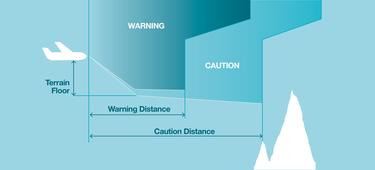
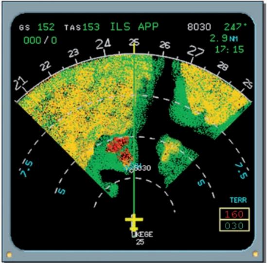
Solutions were sought to help eradicate this type of accident, which are referred to as Controlled Flight Into Terrain (CFIT). A breakthrough occurred in the 1970s when Don Bateman of Honeywell developed the Ground Proximity Warning System – a cockpit device that automatically warned pilots if their aircraft were dangerously approaching the ground or water. “This system used sensors which provide such data as the airplane’s vertical descent speed, height and altitude, to calculate the potential risk of CFIT and alerting the pilot by means of sound and visual signals in real time, operating in a reactive mode," says David Carlu, head of TAWS at Airbus.
It is the enhanced version of this system called TAWS that is in use today. “Technological improvements make the modern TAWS predictive – instead of just being reactive – by combining real-time data from the aircraft, along with satellite positioning information, as well as an extensive database of terrain and human-made obstacles,” he says.
This system was made mandatory by the world’s aviation authorities in the 1990s and the technology has made a big difference in flight safety. Its introduction, along with other technologies (including “glass cockpits” with digital electronic flight instrument displays, more capable flight management systems, along with navigation and air traffic control improvements), appropriate procedures and training have helped reduce the CFIT fatal accident rate by 86%.
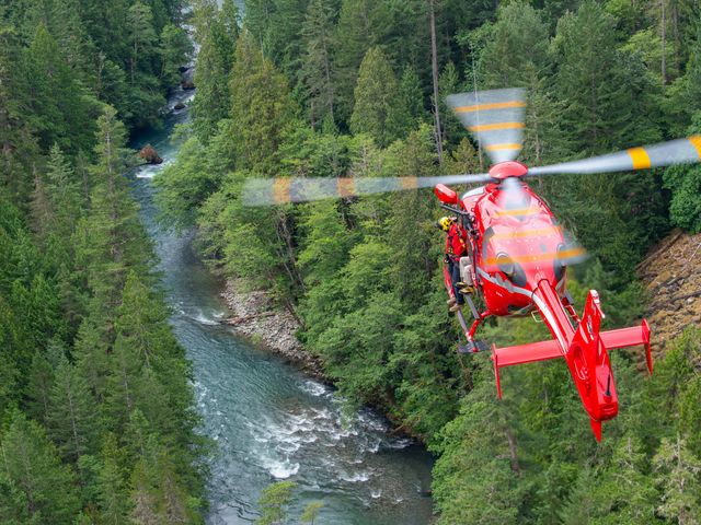
In the helicopter sector, the evolution has been quite similar. The improvements are even more noticeable in their application on helicopters, considering the specific features and missions of these versatile machines. Whether it is to fly workers to an oil rig, carry heavy loads to remote mountainous areas or rescue people involved in an automobile accident, helicopters often fly at low altitudes – sometimes in hostile environments and in adverse weather conditions – which can hide dangers along the flight path. For these reasons, CFIT was a common type of accident.
The introduction of HTAWS (with the “H” signifying the system’s adaption for helicopters) marked a huge step in terms of safety improvement. Benefitting from the growing power of onboard computing – and combined with different functionalities such as satellite positioning, radio altimeters and a digitized terrain map – the HTAWS contributes to flight awareness while airborne, and alerts the crew of an imminent danger by way of an aural warning. It displays a synthetic view of natural or artificial obstacles on the cockpit’s multifunction displays, enabling crews to safely perform their missions.
Soon, HTAWS will be enhanced with the introduction of additional innovations. For instance, the artificial obstacle database and the remote natural locations database will be more accurate as they are updated. Research projects developed within Airbus also will raise the ability to offer customers their own tailored databases.
Another significant step towards safer operations for helicopters will be made by installing active sensors, such as wire detection (because difficult-to-see wires are a common danger), and eventually merging the best of active sensors and passive database technologies.
Safety Innovation series
Continue Reading
Web Story Safety
Airspeed information, whatever the conditions
Airbus has developed a system which improves management of unreliable airspeed events.
Web Story Safety
How to make takeoff safer
Web Story Safety
A new workshop designed with safety in mind
Web Story Safety
Using aircraft as sensors to prevent runway overrun
Web Story Safety
Severe weather hazards: the best is to anticipate and avoid
