Earth observation
Satellites and Services

The earth viewed from above
Over the past 50 years, remote sensing via satellites has yielded both spectacular views of our planet and unprecedented scientific insights.
Today, Earth observation satellites are at the forefront of monitoring climate change, deforestation, rising sea levels, and greenhouse gas emissions in the atmosphere. They’re also vital for homeland security, coastal surveillance and disaster management.
At Airbus, we not only build many of these satellites but also transform geospatial data into actionable insights to help our partners make the best decisions.
Airbus’ comprehensive portfolio means we are able to provide the right satellite and system for our customers – whether they need a weather-independent data source, a small constellation for high-frequency revisits, very high-resolution imagery or even all of these (and more).
Our global expertise


EarthCare surpasses electromagnetic tests
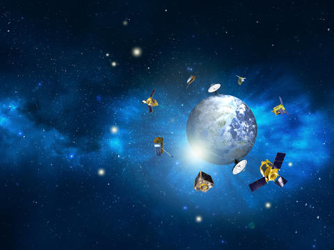
Almost 40 years of successful Earth observation
Since 1986, Airbus Defence and Space has successfully built and delivered 70+ Earth observation satellite systems, accumulating close to 600 years of in-orbit experience.
Around 30 new satellites as well as numerous payloads are currently in development in our facilities around the globe for customers.
Learn more about space in climate monitoring
Earth observation data, space-based products and services are undisputed tools for detecting climate changes on a planetary scale to unlock ways to preserve and protect Earth.
The latest earth observation news
In the spotlight
-

A sovereign space intelligence team: Airbus, Rohde & Schwarz, constellr, Orbint, HPS
Press Release
Space
Airbus will collaborate with Rohde & Schwarz, constellr, Orbint and HPS on a satellite-based Earth observation and ISR solution -

Airbus and Hisdesat sign a commercialisation agreement for PAZ-2 satellite imagery
Press Release
Space
-

Airbus fosters Barry Callebaut`s efforts to develop a deforestation-free supply chain
Press Release
Sustainability
-

Successful launch of Airbus-built Sentinel-6B climate satellite
Press Release
Space
-

Airbus-built CO3D constellation successfully launched to map our planet in 3D
Press Release
Space


Frequently asked questions
about earth observation
What exactly is "Earth Observation" (EO)?
Earth observation is not simply satellite imagery, it is a science gathering information about our planet’s physical, chemical, and biological systems via space-based sensors. Essentially, it is taking the pulse of the Earth from space.
At Airbus, we use a fleet of satellites to monitor everything from agricultural crop health and polar ice thickness to urban expansion and maritime traffic. By turning pictures from space into intelligence for Earth, Earth observation imagery enables data-driven decisions.
How does satellite data differ from using a drone or an airplane?
While drones and planes are great for small, local areas, satellites provide three distinct advantages:
- Global reach: Satellites can capture data anywhere on Earth, including remote oceans or restricted zones where planes cannot fly.
- Consistency: Satellites follow sun-synchronous orbits, allowing us to capture the exact same location at regular intervals to track precise changes over months or years.
- Cost-Efficiency: Mapping an entire country via aircraft is prohibitively expensive and time-consuming; satellites can achieve this in a single pass at a significantly lower cost.
Can Earth observation really help my business reach ESG or sustainability goals?
Yes. EO is now a primary tool for Environmental, Social, and Governance (ESG) reporting and compliance. Airbus intelligence helps companies:
- Verify supply chains and ensure operations are deforestation-free and ethically sourced.
- Monitor methane leaks or carbon sequestration in forests.
- Audit environmental restoration projects with objective, third-party proof from space that cannot be altered.
What is the difference between optical and radar imagery?
Think of optical imagery (like Pléiades) as a high-powered digital camera; it shows you the world as the human eye sees it, but it requires sunlight and clear skies. Radar (like TerraSAR-X) sends out its own energy pulses that bounce off the ground. This allows it to "see" through clouds, smoke, and total darkness. Combining both gives you a 24/7, all-weather view of any location on Earth.
Is the data "Real-Time"? Can I watch a live video?
Not quite. While we don't offer "live streaming" like a webcam (due to the immense speed at which satellites travel), we offer "Near Real-Time" delivery. In urgent situations, such as a natural disaster, an image can be captured by a satellite and delivered to a user’s screen in as little as a few hours. For most monitoring needs, users look at "fresh" imagery updated daily or weekly.
Do I need to be a scientist to understand this data?
No. While raw satellite data is complex, Airbus specializes in Actionable Insights. Through our OneAtlas platform, we translate complex pixels into simple maps, alerts, and reports. Whether you need to know how many cars are in a parking lot or how much a forest has grown, we provide the answers in formats that business analysts and decision-makers can use immediately without a PhD in remote sensing.
Discover more about Space at Airbus
-
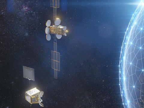
Telecommunications and Navigation satellites
Airbus is a global leader in communications and navigation satellites, delivering high-performance products and solutions to…
-
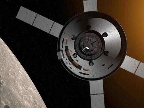
Space exploration
Airbus is at the heart of space exploration, designing and delivering innovative spacecraft, robots, scientific experiments…
-

Space ground systems
We provide advanced ground infrastructure solutions for any mission, including the DRS, end user terminals, network management &…
-

Space equipment
Airbus offers innovative and cutting-edge standard and custom spacecraft solutions, hardware, systems and services for all types…
-
Space customer support
With a tailored satellite or connectivity system, each customer has access to a wide range of services, from in-orbit delivery to…


