
Galileo
Europe’s Global Navigation Satellite System (GNSS)

Space technology for a better life on Earth
Navigation satellites enable us to calculate our exact position, speed and direction on Earth and in the air with unrivalled precision and accurately set the time on Earth.
Galileo data enables various satellite-based services and applications, in different sectors from maritime to agriculture and emergency response. It helps make transport safer and more efficient, it supports aircraft in critical operations such as take-off and landing.
Today, the system serves nearly four billion users worldwide and is used in a wide range of applications, from emergency services to agriculture and financial transactions.
Galileo is fully funded and owned by the European Union and unlike other GNSSs it is under civilian control, it provides Europe and European citizens with independence and sovereignty in the provision of positioning services. Most of its services are provided free of charge all around the world.
Galileo: The future of navigation on Earth lies in space
-
 Galileo 2nd GEN
Galileo 2nd GEN
-
 Europe’s Galileo navigation satellite system
Europe’s Galileo navigation satellite system
Airbus at the forefront of the European Galileo system
Airbus engineers have played a central role in the Galileo satellite navigation programme since its inception.
Airbus provides essential system expertise to the European Space Agency (ESA), the European GNSS Agency and the European Union with the development of the first experimental spacecraft and the first fully representative satellites for the Galileo first-generation constellation.
All currently operational Galileo first-generation satellite navigation payloads were built by Airbus Defence and Space’s subsidiary Surrey Satellite Technology (SSTL).
Airbus’s role extends to supporting ESA and EUSPA during the Galileo exploitation phase, ensuring ongoing monitoring and development of the first-generation system.
Looking ahead, Airbus is leading efforts to support ESA's work on the definition and development of the next generation.
We are currently designing and manufacturing six second-generation spacecraft to take the global Galileo system to the next level.
In parallel, we are developing the third generation of the EGNOS system (European Geostationary Navigation Overlay Service), which will further enhance GNSS performance for safety-critical applications such as aircraft landing, or maritime navigation through narrow channels.

Galileo Infographic

Media Centre
Browse our photos, videos and downloadable assets of Galileo.
The latest Galileo news
-

Airbus alongside the French Air Force, yesterday, today and tomorrow
Web Story
Defence
Airbus supports the French Air and Space Force and prepares tomorrow's defence systems. -
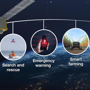
Europe’s Galileo satellites show the way
Web Story
Space
-
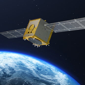
Airbus starts Galileo Second Generation satellite production
Press Release
Space
-

Tomorrow’s guiding stars for Europe
Web Story
Space
-
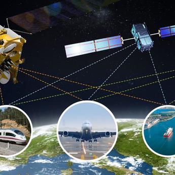
Airbus achieves key milestone on EGNOS European satellite-based navigation…
Press Release
Safety


Discover more about telecommunications & navigation at Airbus
-
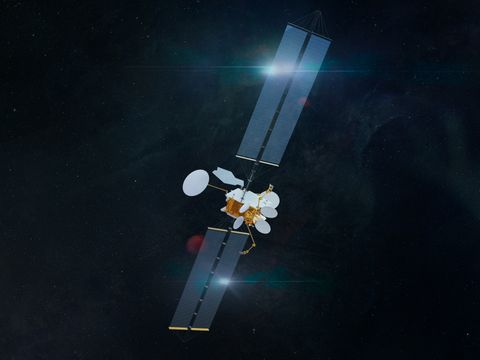
OneSat
OneSat, Airbus' geostationary telecommunications satellite, is fully reconfigurable in orbit to meet evolving mission scenarios.
-
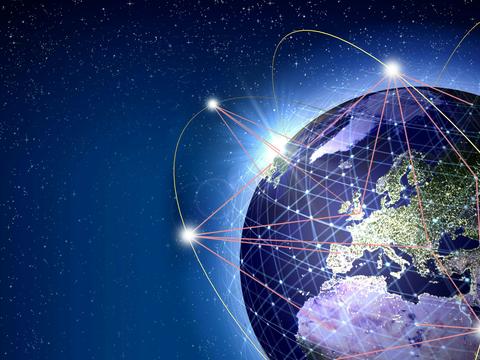
Low Earth orbit satellite constellation
Airbus’ low Earth orbit constellation satellites offer a variety of communications, maritime and aeronautical applications.
-
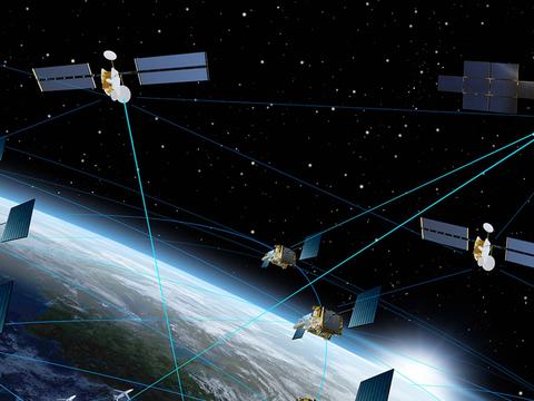
Military Space
Airbus’ space-based assets ensure constant communication, connectivity and surveillance for military operations on land, at sea,…
-
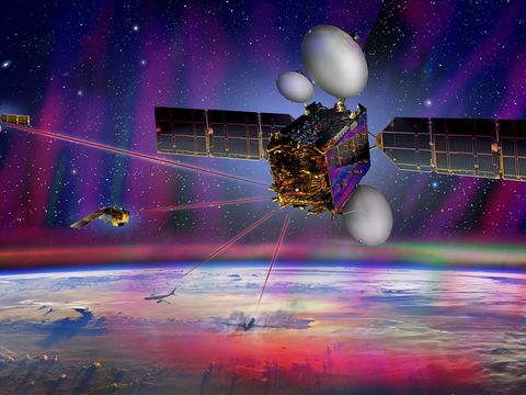
Space Data Highway
The Space Data Highway allows a high-volume data transfer via ultra-broadband laser communications.
-
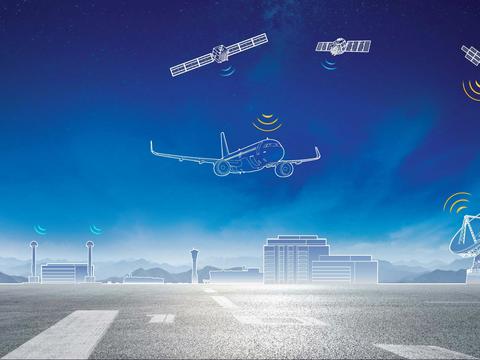
EGNOS V3
EGNOS V3 is a satellite-based augmentation system that provides the highest-precision navigation and positioning services.


Frequenty asked questions
GALILEO
What is Galileo and why does Europe need its own system?
Galileo is Europe's independent Global Navigation Satellite System (GNSS), providing highly accurate, guaranteed global positioning and timing services. Designed by the European Space Agency (ESA) and managed by the EU Agency for the Space Programme (EUSPA), Galileo is the world’s only civilian system, distinguishing it from military-run systems like the US GPS. It currently serves more than four billion users worldwide ensuring that citizens, emergency services and businesses have guaranteed, independent access to high-precision positioning and timing signals.
What role Airbus plays in the Galileo programme?
Airbus has been at the absolute forefront of Galileo since its inception. Airbus provided major system expertise for the very first experimental spacecraft (GIOVE-A and GIOVE-B) and the foundational In-Orbit Validation (IOV) satellites. Furthermore, all operational payloads for the Galileo First Generation (G1) constellation were built by Airbus’s subsidiary, Surrey Satellite Technology Ltd (SSTL).
Today, Airbus is a primary industrial contractor for the Galileo Second Generation (G2), designing and manufacturing six of the highly advanced, next-generation satellites at its cleanrooms in Friedrichshafen, Germany.
How does the Galileo system work?
Galileo provides global Positioning, Navigation, and Timing (PNT) services through a process called trilateration. Your smartphone or navigation receiver calculates its precise location by measuring the exact time it takes to receive radio signals from at least four separate spacecraft simultaneously. To ensure unbroken global coverage, the system operates a constellation of over 30 satellites in orbit.
The entire ecosystem functions via three core segments:
- The space segment (satellites): Airbus is manufacturing six of the highly advanced Galileo Second Generation (G2) satellites to upgrade this fleet.
- The control segment (ground stations): A secure network of global monitoring stations that cross-checks satellite orbits and synchronises their internal clocks. Airbus provides key technical support, system integration, and software development to the ground control segment, ensuring seamless communication between Earth and space.
- The user segment (receivers): Commercial, civilian, and sovereign hardware (smartphones, aircraft, and vehicle) processing the signals.
Is Galileo more accurate than GPS?
Yes. Galileo is currently the most precise commercial satellite navigation system in the world. Galileo provides meter-level accuracy for free (Open Service) and decimeter-level accuracy (down to 20cm) for professional applications like autonomous driving and precision farming. Galileo’s constellation features a high inclination angle, , it performs significantly better in Northern Europe and within "urban canyons" (cities with tall buildings) compared to other networks.
How do I know if I am already using Galileo?
If you have bought a smartphone in the European Union in the last few years, you are almost certainly using it. Since 2017, all smartphones sold in the EU are required to be Galileo-enabled. It works seamlessly in the background. Your phone automatically combines signals from both Galileo and GPS constellations, choosing the strongest geometry to calculate the fastest, most reliable location tracking on your mapping apps.
What is "Galileo Second Generation" (G2)?
Airbus is leading the development of six Galileo Second Generation (G2) satellites. These advanced spacecraft are a complete technological evolution, they will feature:
- Fully digital payloads: Allowing the satellites to be reconfigured in orbit to meet security threats.
- Inter-satellite links: Enabling the satellite to communicate directly with one another to cross-check data, making the system even more robust.
- Enhanced atomic clocks: Providing the ultra-precise timing needed for 5G networks and high-speed financial trading.
The first batch of Airbus-built Galileo Second Generation (G2) satellites is slated to begin joining the active constellation from 2026/2027. The G2 satellites will seamlessly integrate alongside the existing G1 fleet to prevent any disruption to global users.
What is the Galileo Search and Rescue (SAR) service and how does it save lives?
Galileo is Europe’s core contribution to Cospas-Sarsat, the international emergency beacon network. It has revolutionized global rescue operations by offering two high-speed capabilities:
- Forward Link: When a distress beacon is activated, Galileo satellites locate the source to within 2 kilometres in less than five minutes.
- Return Link: Unique to Galileo. Within roughly 60 seconds of detection, the system sends an automatic acknowledgment signal back to the beacon to confirm to the user that rescue teams have been alerted.
Airbus built the high-precision search and rescue payloads for the original constellation through its subsidiary, SSTL. For Galileo Second Generation (G2), Airbus is manufacturing six new satellites featuring advanced two-way SAR communication systems and a new Emergency Warning capability that allows authorities to broadcast life-saving alerts directly to mobile devices during natural disasters.
How does Galileo broadcast emergency warnings to my phone?
The new Emergency Warning Satellite Service (EWSS) being rolled out allows national civil protection authorities to send critical and local alert messages to smartphones and digital signage via satellite signals. This is especially critical during natural disasters (like floods or wildfires) when local mobile phone towers might be damaged. The satellite can send instructions directly to you, even if you have no mobile signal.
Why is Galileo crucial for European strategic autonomy?
Before Galileo, Europe was reliant on foreign military navigation systems (like US GPS or Russian GLONASS), which could be degraded or deactivated during geopolitical conflicts. Galileo ensures European strategic autonomy. It guarantees that Europe’s critical secure infrastructure, such as telecommunication synchronisation, banking networks, and defence logistics, remains fully operational under sovereign civilian control, regardless of external circumstances.