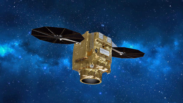
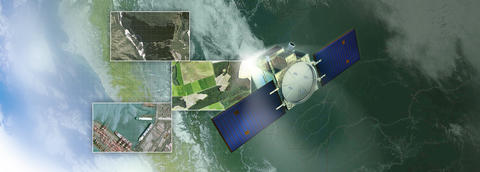
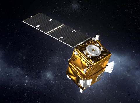
The very high resolution Pléiades Neo satellites – which are entirely funded, manufactured, owned, and operated by Airbus – represent a breakthrough in Earth observation, creating the company’s most advanced optical constellation for commercial, institutional and governmental customers. Comprised of two identical 30-cm-resolution spacecraft that are phased at 180° from each other in orbit., the constellation offers reactive tasking,along with the ability to visit any point on the globe at least twice daily. Each Pléiades Neo satellite adds half a million km² of imagery per day to the Airbus catalogue. Utilising an innovative ground-based infrastructure, imagery collected by the Pléiades Neo constellation is easily obtainable from Airbus’ OneAtlas digital platform, giving customers immediate access to both freshly acquired and archived data, as well as extensive analytics.
Next-gen optical instrument
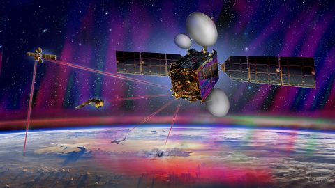
The compact Pléiades Neo spacecraft are equipped with a lightweight, next-generation silicon carbide optical instrument, and are equipped for inter-satellite links with Airbus’ SpaceDataHighway (EDRS) geostationary spacecraft – enabling urgent acquisitions just 40 minutes after a request.
High resolution Pléiades Neo imagery offers an unmatched level of detail, including more visibility of small objects such as vehicles and road markings. This level of detection, recognition and identification provides more ground truth for image analysts and improves reliability for machine learning capabilities.
The constellation also will deliver higher geolocation accuracy and deeper spectral band information, allowing more insights to be derived for various applications, including the monitoring of strategic sites, commercial activities, maritime zones and the environment; along with mapping, infrastructure and urban development.
Reshaping Earth observation-based services
In optimising each step of the acquisition and delivery cycle, top-level Earth observation data is available for a full range of customers with the Pléiades Neo constellation.
For defence, intelligence and security users, the satellites unlock new possibilities with projection preparation and precise location determination, as well as better anticipation for increased responsiveness and protection. Pléiades Neo’s agility enables the multi-stereo acquisitions to create reliable 3D textured models and Digital Elevation Models (DEMs), enabling quicker, improved mission preparation and safety. The very-high-resolution imagery – available at 40 minutes in an emergency mode or less than two hours in the routine mode – allows positive identification of mobile or fixed target status, and the ability to plan follow-up response if necessary.
To support urban applications such as land administration and city management, Pléiades Neo delivers optimum reactivity for operations that vary from monitoring urban sprawl, assessing climate change, and determining the impact of pollution to ensuring public safety and rapid response times for emergency services. Natural hazard risk analysis and damage assessments also are facilitated with the use of the satellites’ imagery.
In today’s constantly changing environment where information is key, Pléiades Neo imaging enables fresh topographic mapping for many applications. The satellites bring a significant level of information required for precise large-scale mapping in the military and civilian contexts up to 1:2000 scale, while the intraday revisit rate with the constellation’s two identical satellites enables rapid acquisitions with frequent updates for any product layer. Additionally, Pléiades Neo’s agility ensures multi-stereo acquisitions in one single pass – which is essential in building topographic maps.
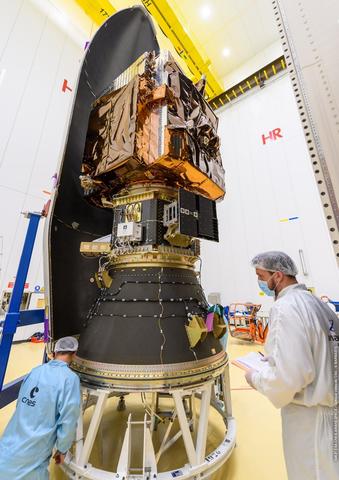
Deployment of the constellation
The two Pléiades Neo satellite currently in orbit – Pléiades Neo 3 and Neo 4 – are providing extremely high image quality, geolocation accuracy and overall operational reactivity at 3-cm resolution, with coverage of over 1 million sq. km. per day. They are joining Airbus’ two first-generation Pléiades series spacecraft (Pléiades 1A and Pléiades 1B) which were orbited in 2011 and 2012, respectively, and provide 50-cm-resolution [GF1] imagery.
- Pléiades Neo 3
This first Pléiades Neo spacecraft was delivered to Sun-synchronous orbit in April 2021 by a European Vega launch vehicle – paving the way for introduction of the new services.
- Pléiades Neo 4
Orbited in August 2021 on a Vega launcher, Pléiades Neo 4 entered service three months later as the Neo constellation’s second satellite.
For more information on Pléiades Neo Click here
Latest Pleiades Neo News
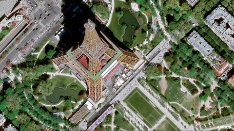
Airbus expands its Earth observation constellation with Pléiades Neo Next
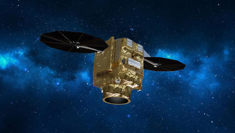
Airbus to provide Poland with a very high resolution optical satellite system
