PéruSAT

Serving Peru, observing and monitoring land
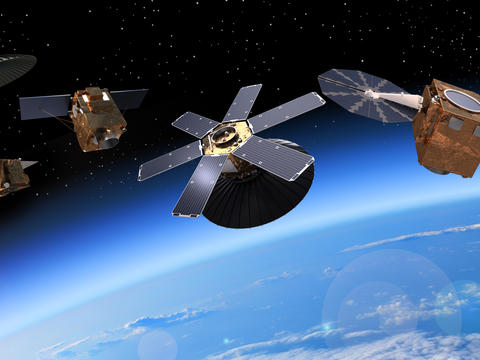
PerúSAT-1 is a very-high-resolution Earth observation satellite system built for the government and Space Agency of Peru. Launched in 2016, this satellite is the first of its kind operated by Peru.
PerúSAT-1 - A 24-month story from A to Z
PerúSAT-1 - A 24-month story from A to Z
PerúSAT-1: A primary data source for Peru
The PerúSAT-1 programme provides very high quality imagery for both civil and military applications. With applications ranging from homeland security and border surveillance, coastal monitoring and the fight against illegal trafficking to mining, geology, hydrology, disaster management and environmental protection, PerúSAT-1 provides an unprecedented boost to the development of downstream services in Peru.
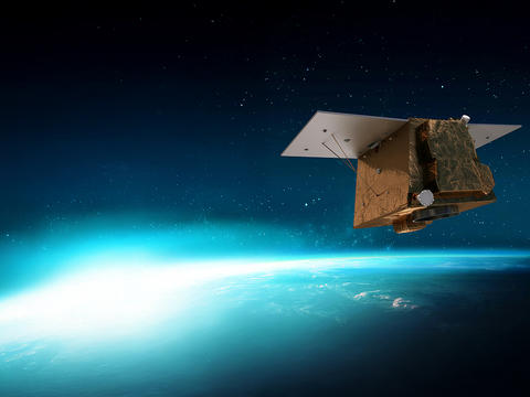
In 2014, the Peruvian Space Agency CONIDA selected Airbus as the sole prime contractor for the PerúSAT-1 Earth observation satellite programme following an intergovernmental agreement between the Peruvian and French authorities. As the contract included the delivery of its first satellite in-orbit, Airbus contracted Arianespace to launch PerúSAT-1 on a Vega launcher from Kourou in French Guiana, which placed the satellite into its sun-synchronous polar orbit approximately 700 km above the Earth.
PerúSAT-1 is based on Airbus Defence and Space's AstroBus-S platform: the latest generation of high-end satellites designed for a 10-year lifetime.
It observes the Earth through the very high-resolution NAOMI optical imager, designed and developed by Airbus Defence and Space. This silicon carbide optical instrument provides imagery in high or very-high resolution; in the case of PerúSAT-1’s 70 centimetres.
The Peruvian Earth observation satellite system also includes a ground control segment, an image reception and processing centre and privileged access to Airbus' own fleet of Earth observation satellites from day one of the contract.


PerúSAT-1: a satellite produced in record time
This success has been made possible by the implementation of a new and more integrated work organisation. This new way of working reduces development and construction lead times for satellites up to 500 kg and optimises their costs and delivery schedules, without compromising quality.


Discover more about earth observation at Airbus
-
Earth observation systems
Discover our Earth Observation optical and radar portfolio with its comprehensive range of satellite systems to monitor the…
-

Capacity building and training
Explore comprehensive space training programs: from theoretical courses to operations practical workshops.
-

Satellite imagery
Airbus optical satellite imagery and data solutions are used in many applications and industries including agriculture, mapping,…
-
CO3D
CO3D, a CNES and Airbus optical constellation to map the world in 3D.


