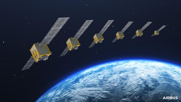
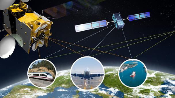
Airbus is a global space industry leader in satellite navigation, possessing all the necessary skills & capabilities to support the successful implementation of satellite navigation systems, used to provide Position, Navigation and Timing (PNT) solutions to all users. Airbus is actively involved in the up-stream, providing both space and ground infrastructure and down-stream developing robust, resilient receiver solutions.
Navigation applications
Many navigation applications require positioning and timing information that is trustworthy, robust and accurate, even in very challenging user conditions. Airbus Defence and Space offers highly sophisticated solution engineering and concepts which allow application developers and service providers to go beyond the limits of conventional GNSS. For example, we provide a high level of expertise in interference detection (both jamming and spoofing), mitigation and localisation; signal processing techniques and sensor fusion concepts for rail and other land users. We have developed a number of innovative receiver concepts specific to the Galileo Public-Regulated Service (PRS) encrypted signal for authorised users.

